How to Move Between Cities and Regions in the United States
Outside the Northeast Corridor, the United States runs on cars and domestic flights. Distances are enormous and Amtrak is scenic but slow.
How to Move Between Cities and Regions in the United States
The map shows the same distance between two dots, but the empty space between those dots is different in the American West than it is in Europe. Getting around the United States means accepting that the private automobile is the dominant mode. Planning as if the train or bus will save you time between mid-sized cities is the single biggest mistake first time visitors make.
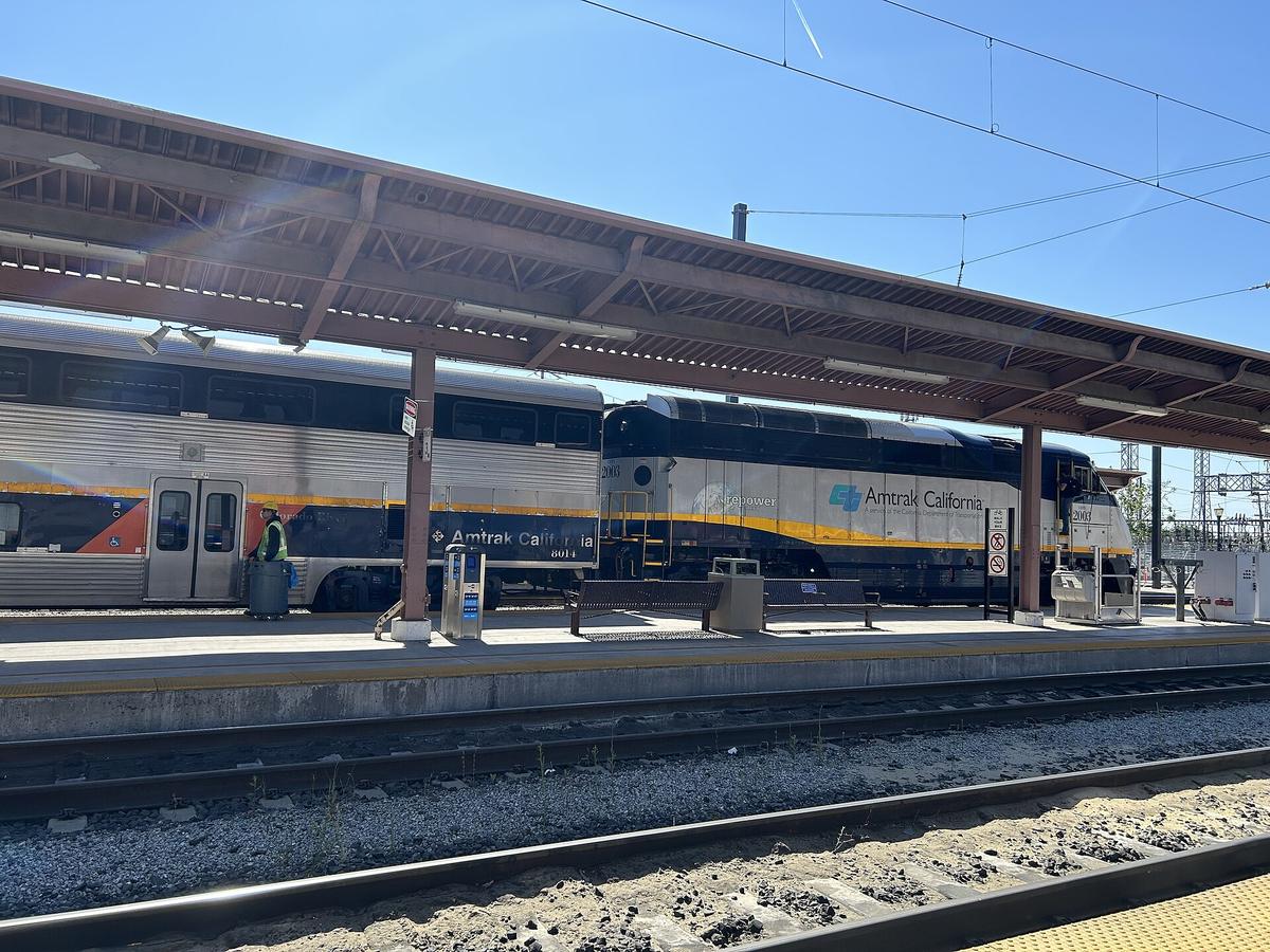
Outside the Northeast Corridor, which runs from Boston through New York, Philadelphia and Washington DC, the rail network is sparse. Amtrak connects 46 states, but its long distance routes ran on time only 58% of the time in fiscal year 2024. The Northeast Corridor is the exception. Its Acela trains average 75% on time performance for the same period, and the route is dense enough that you can move between city centers without a car. Everywhere else, book a rental car or a domestic flight.
The Map Lies About Driving Times
Los Angeles to San Francisco on a map looks like a morning drive. The road distance is approximately 615 kilometers, and the actual drive time is 6 to 7 hours without traffic. Traffic is rarely absent on the I 5. New York City to Washington DC is about 365 kilometers by road, which takes 4 to 5 hours. Even the Amtrak Acela, the highest speed service in the country, takes about 2 hours 50 minutes. Dallas to Houston is 385 kilometers and 3.5 to 4 hours by car. Miami to Orlando is 375 kilometers and 3.5 to 4 hours.
Prepare For Empty Stretches
The Interstate Highway System covers 78,000 kilometers (48,000 miles), but the exit towns are not always worth stopping in. Download offline maps before heading through the Mountain West or Great Plains. Cell signal dies in long stretches. Free Wi Fi is patchy in national parks and rural areas. A prepaid eSIM from Airalo or Holafly works for basic coverage, but a physical SIM from T Mobile or AT&T bought at an airport gives better reach in the empty parts of the country.
US Domestic Flights vs Driving: When to Fly and When to Drive
Domestic air travel is the primary intercity passenger transport mode in the United States. The country has approximately 500 airports with scheduled commercial service and 18 mainline carriers. The busiest airport in 2024 was Hartsfield Jackson Atlanta International, which handles more passenger boardings than any other US airport. If you are crossing a region, such as from Chicago to Denver or from Seattle to Los Angeles, fly. It is the only reasonable way to do it in a single day.
When The Car Wins
Drive when you are moving within a region and want to see what is between the cities. The national car ownership rate is about 92 percent of households, and the road network totals approximately 6.8 million kilometers (4.2 million miles). For a trip between two cities less than 500 kilometers apart that are not on the Northeast Corridor, driving is usually faster than flying once you factor in the time to reach the airport, pass through security with a government issued photo ID, and retrieve a rental car at the destination. The security line itself requires a passport for foreign nationals, and from May 2025 US residents need a REAL ID compliant license.
Bag Fees Are The Norm
Budget for checked bag fees on most airlines. Southwest Airlines is the outlier that allows two free checked bags. On every other mainline carrier, a checked bag costs extra and the price varies by fare class.
Amtrak Routes United States: Realistic Expectations
The Amtrak network is sparse. It serves the contiguous 48 states on limited routes, and only one corridor, the Northeast Corridor from Boston to Washington, qualifies as high speed. That route gives you on time performance around 75 percent in fiscal year 2024. The long distance routes, such as the California Zephyr or the Empire Builder, are scenic but run late roughly 42 percent of the time. There is no systematic security screening at Amtrak stations. You can walk onto the platform with luggage, buy a ticket at the station counter or on the Amtrak app, and board a train that is dated for a specific departure.
Check The Map Before You Book
The failure case: you want to go from New Orleans to Atlanta by train. There is no direct Amtrak route. You would need to take the Sunset Limited to some intermediate point and transfer, if a connection exists at all that day. The same problem applies to most mid sized city pairs. If you cannot see a direct route on the Amtrak map that takes less than 12 hours, assume it does not exist as a practical option. The intercity bus network, run by Greyhound Lines and supplemented by FlixBus, Megabus and regional carriers, covers more towns than Amtrak does. The bus does not run on time either, but it will get you there if Amtrak does not.
Renting a Car in America: the Non Negotiable Requirements
You need a valid home country driving licence to rent a car. If the licence is not printed in English, bring an International Driving Permit. The major agencies will ask for a credit card at the counter. A debit card is rarely accepted, and if it is, the agency places a large hold on funds that can take days to release. The minimum rental age at most major agencies is 21, and if you are under 25 you pay a daily surcharge that adds roughly $20 to $40 per day.
Do Not Arrive With A Debit Card
The failure case: you arrive at the Los Angeles airport, have a confirmed reservation, and present a debit card. The agency refuses the rental. You now have no vehicle and the next available car at a nearby agency costs triple the price. Bring a credit card in your own name.
Rideshare services Uber and Lyft operate in most urban areas and many suburban zones, but they are expensive for long distances. A rideshare from LAX to downtown San Diego costs more than a rental car for a day.


Interstate Highway Travel Times: Reading the Road
The Interstate Highway System runs about 78,000 kilometers (48,000 miles) across the country. Speed limits on interstates range from 65 to 80 miles per hour depending on the state, but average speed with rest stops and traffic drops to 60 miles per hour or less. The rule of thumb is to add one hour of buffer for every 4 hours of drive time. A day of driving from Denver to Moab takes 5.5 hours without stops. With a lunch break and a bathroom stop, it takes 7 hours.
Weather Will Change Your Plan
Seasonal closures affect mountain passes. The Mountain West, including the Sierra Nevada, Rockies and Cascades, requires chain controls during snowstorms. Alaska has extreme winter closures, including the Dalton Highway and segments of Denali Park Road that close entirely. Hurricane season from June through November disrupts Gulf and Atlantic coastal routes. Summer thunderstorms disrupt hubs in Atlanta, Chicago and Dallas, which can delay a rental handoff at the airport even if your flight itself arrives on time.
The Northeast Corridor Exception
New York City, Chicago, Washington DC, Boston, San Francisco and Philadelphia have urban public transit systems that can replace a car for a full trip. Only the Northeast Corridor, from Boston through New York to Washington, allows a car free visit that includes multiple cities. The New York City subway carried approximately 2.0 billion trips in 2024 and operates 24 hours a day, which is rare anywhere. The DC Metro, Boston T and Philadelphia SEPTA cover the rest of the route.
Expect Gaps Elsewhere
Outside these cities, public transit is limited in coverage and frequency. Most other US cities have a bus system that exists but does not connect the suburbs, the airport and the downtown efficiently. If you land at an airport outside the major transit backbone cities, take a rideshare or a rental car. At LAX, the FlyAway bus to Union Station costs $9.75 and takes 45 to 60 minutes, but there is no direct rail link from the airport. At most other airports, public transit connections range from limited to nonexistent.
What the Research Doesn’T Tell You
Sales tax in the United States is added at the register, not displayed on shelf prices. The rate varies by city and county, and it can add 10 percent or more to a restaurant bill or a rental car. Tipping 18 to 22 percent at sit down restaurants is effectively mandatory. The tip is considered part of the server's wages, not a bonus for good service. Public restrooms are scarce. In most cities, you need to buy something at a cafe to use its facilities. Jaywalking laws are enforced unpredictably. In some downtowns the fine is real. In others, nobody cares.
Tap water is safe to drink everywhere in the United States except in parts of the rural Southwest and the Plains, where it tastes strongly of minerals or sulphur. The water will not hurt you, but it may taste unpleasant. A gallon of bottled water at a grocery store costs around a dollar.
Common Questions
Do I need an International Driving Permit to rent a car in the United States?
You need a valid home country licence. If the licence is not in English, a rental agency will likely refuse it. Bring an International Driving Permit from your home country auto club before you travel. It costs about $20 and takes 15 minutes to process.
Can I use Amtrak to travel between mid sized cities outside the Northeast Corridor?
Yes, but it is slow, infrequent and often hours late. Long distance Amtrak routes ran on time only 58% of the time in fiscal year 2024. The bus reaches more mid sized cities and departs more often. Check the Amtrak timetable before booking a short connection.
What is the fastest way to get from Los Angeles to San Francisco?
Flying is the fastest option. The drive takes 6 to 7 hours without traffic. The flight takes about 90 minutes in the air, but add 2 hours for airport arrival and security. A one way ticket on a low cost carrier costs about $60 to $120 if booked a few weeks ahead.
Is it safe to drive across the United States alone?
Yes, with preparation. The Interstate Highway System is well maintained. Carry a paper map or an offline map downloaded before you leave cell range. Fill your tank when it reaches half full in the Mountain West and Great Plains. Winter driving in the Rockies and Sierra Nevada requires chains.
Read next
-
 Staying Connected While Traveling Through the United States
Prepaid eSIMs work well in US cities, but a physical T-Mobile or AT&T SIM bought at arrival gives better rural coverage for national parks and long highway drives.
Staying Connected While Traveling Through the United States
Prepaid eSIMs work well in US cities, but a physical T-Mobile or AT&T SIM bought at arrival gives better rural coverage for national parks and long highway drives.
-
 Best Time to Visit the United States by Region and Season
The United States spans so many climates that no single season works everywhere. Here is what each region delivers, and when to stay away.
Best Time to Visit the United States by Region and Season
The United States spans so many climates that no single season works everywhere. Here is what each region delivers, and when to stay away.
-
 United States Visa Rules and the ESTA Process Explained Simply
Most visitors to the United States need either an ESTA authorization or a B-2 tourist visa. Here is who needs which and how the process runs.
United States Visa Rules and the ESTA Process Explained Simply
Most visitors to the United States need either an ESTA authorization or a B-2 tourist visa. Here is who needs which and how the process runs.
-
 Money in the United States, Cards, Cash, Tipping and That Extra Tax
The United States runs on cards, but sales tax is added at the register and tipping 18-22% is effectively mandatory. Here is how money actually works.
Money in the United States, Cards, Cash, Tipping and That Extra Tax
The United States runs on cards, but sales tax is added at the register and tipping 18-22% is effectively mandatory. Here is how money actually works.
-
 Reading United States Safety Advice Without Being Misled by It
Safety in the United States is hyperlocal, and the visible poverty in public spaces can jar first-timers. Here is how to read the advice without being misled.
Reading United States Safety Advice Without Being Misled by It
Safety in the United States is hyperlocal, and the visible poverty in public spaces can jar first-timers. Here is how to read the advice without being misled.
-
 What It Costs to Travel Across the United States Without Blowing Your Budget
How a United States trip budget is shaped by the non-negotiable cost of a car, the tipping layer on every meal, and sales tax that appears only at the register.
What It Costs to Travel Across the United States Without Blowing Your Budget
How a United States trip budget is shaped by the non-negotiable cost of a car, the tipping layer on every meal, and sales tax that appears only at the register.
-
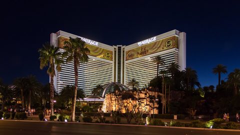 Nevada
 is a state of extreme contrasts: the 24-hour artificial fantasy of the Las Vegas Strip gives way to vast, silent desert where services vanish and the
Nevada
Nevada is a state of extreme contrasts: the 24-hour artificial fantasy of the Las Vegas Strip gives way to vast, silent desert where services vanish and the
-
 Maryland
 is built around the Chesapeake Bay, where steamed crabs and slow ferries set the pace and the two shores are close on a map but far apart by road.
Maryland
Maryland is built around the Chesapeake Bay, where steamed crabs and slow ferries set the pace and the two shores are close on a map but far apart by road.
-
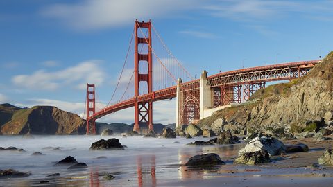 California
Eight hundred miles of desert, alpine range, and temperate coast in one state. The season that suits one part rules out another.
California
Eight hundred miles of desert, alpine range, and temperate coast in one state. The season that suits one part rules out another.