A South America Travel Guide to Overland Multi-Country Routes
South America is larger than Europe and shaped by altitude, distance, and geography.
South America Travel Guide: Altitude, Not Latitude, Defines Your Trip
South America is larger than Europe, and its geography punishes the traveller who treats it as one destination. The Andes spine runs roughly 7,000 km from Venezuela to Tierra del Fuego, so altitude, not latitude, dictates what you experience. A flight from Bogotá at 2,640 m to the Amazon basin at sea level changes your body more than a flight from Bogotá to Buenos Aires. This guide explains how those extremes shape a multi-country route and directs you to the country-level detail you need for each leg. The continent is not a checklist. It is a set of distinct regions that demand time, cash, and a willingness to adapt.
First-time visitors consistently underestimate the distances. The map shows Colombia next to Brazil, but the bus from Bogotá to Cartagena runs 20 to 24 hours. The flight takes 1 hour 30 minutes. You cannot plan a three-week trip that includes four countries without internal flights, and you cannot book those flights with a foreign credit card on many airline sites. You will need a local SIM for MercadoPago in Argentina or cash at a bus station counter in Bolivia. Patience is rewarded. Rigidity is punished.
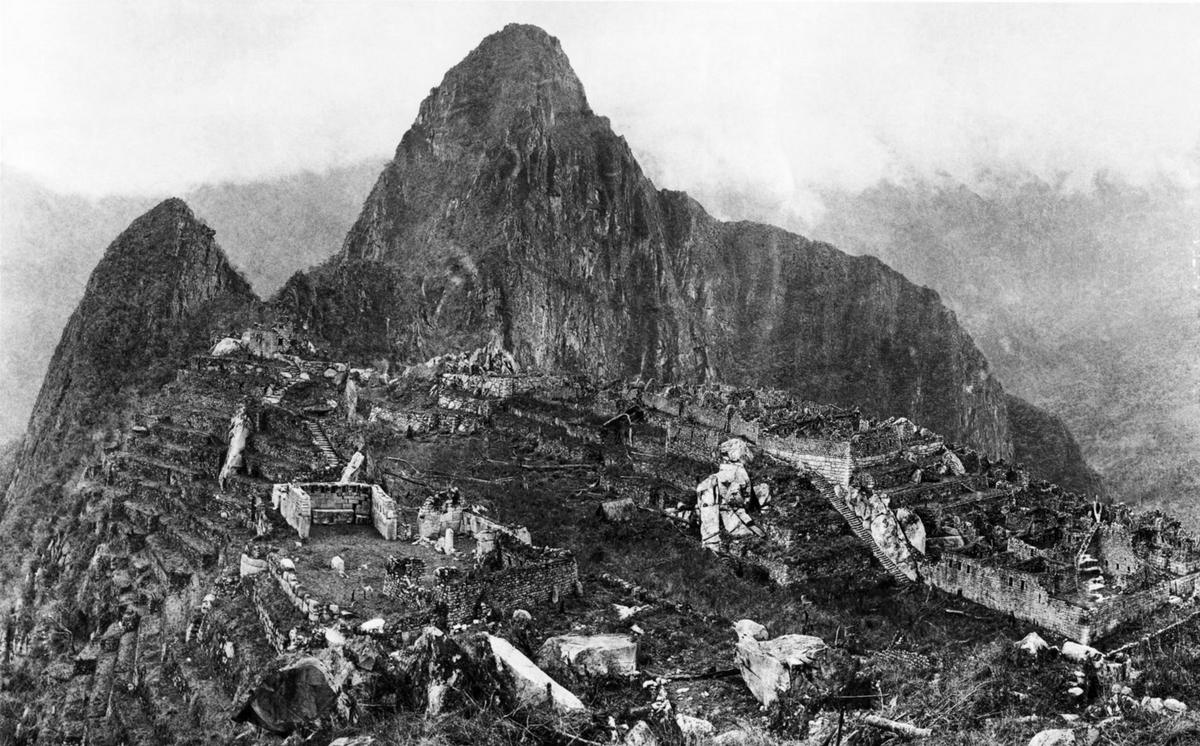

- Countries In Scope: Argentina, Bolivia, Brazil, Chile, Colombia, Ecuador, Guyana, Paraguay, Peru, Suriname, Uruguay, Venezuela
- Minimum Days For A Trip: 21 days for a bare minimum three country hop using internal flights; 8-12 weeks for a one way overland backbone trip
- Peak Season: December through February (Patagonia and southern cone summer) and July (Brazilian and Andean winter school holidays)
- Key Arrival Hubs: Bogotá (BOG) for the north; Lima (LIM) for the central Andes; São Paulo (GRU) for Brazil; Santiago (SCL) for the southern cone; Buenos Aires (EZE) for the south east
- Altitude Sickness Risk Begins: Above 2,500 m. Cusco sits at 3,400 m, La Paz at 3,640 m, Bogotá at 2,640 m. Plan a 48 hour acclimatisation.
Planning a Multi-Country South America Trip
Choose A Region Before Countries
Choose a region before you choose countries. The landmass breaks into clear geographic blocks. The Andes spine holds high altitude indigenous capitals, trekking routes, and thin air. The Amazon basin covers roughly 7,000,000 km² across Brazil, Peru, Colombia, Venezuela, Ecuador, Bolivia, Guyana, and Suriname: river travel, heat, humidity, and vast distances between settlements. Patagonia and Tierra del Fuego offer wind scoured steppe, glaciers, and jagged peaks. The Brazilian coast provides tropical Atlantic, samba, and Afro Brazilian culture. The Altiplano delivers salt flats, flamingos, and 4,000 m emptiness. The Guianas sit off radar with dense rainforest and a Caribbean edge. The Pampas are gaucho grasslands. The Atacama corner is the driest non polar desert on earth. The Llanos and Pantanal are wildlife rich wetlands with capybaras and jaguars. The Pacific coast runs ceviche, surf breaks, and the Humboldt current.
Set A Realistic Scope
Pick two or three of these regions for an eight to twelve week overland backbone trip. A bare minimum three country hop like Colombia, Peru, and Brazil requires at least 21 days and internal flights. Do not attempt a four country sprint in two weeks. The common mistake is trying to do South America in one trip. Picking four countries and actually seeing them beats a twelve country flag collecting sprint that burns half the trip in bus stations and airports.
South America Overland Route Planning
Long Distance Buses
Long distance buses are the backbone of overland travel. The most extensive networks run across Argentina, Brazil, Chile, and Peru. Lie flat cama seats are standard on overnight routes. Payment is mostly cash in local currency. In Argentina and Chile, buying long distance bus tickets online with a foreign card is difficult. Use a local SIM for MercadoPago or pay at a bus station counter. Do not assume a twelve hour bus on the map equals twelve hours. Andean roadblocks, landslides, and Amazon ferry waits routinely add four to twenty four hours.
Domestic Flights
Domestic flights are densest in Brazil and Colombia. Typical flight times tell the story of the scale. Bogotá to Cartagena flies in 1 hour 30 minutes but the bus runs 20 to 24 hours. Lima to Cusco flies in 1 hour 20 minutes but the bus runs 21 to 24 hours. São Paulo to Brasília flies in 1 hour 40 minutes but the bus runs 15 to 17 hours. Buenos Aires to Bariloche flies in 2 hours 15 minutes but the bus runs 22 to 24 hours. Budget for flight costs and book with a local SIM.
| Route | Typical Flight Time | Typical Bus Time |
|---|---|---|
| Bogotá-Cartagena | 1 hr 30 min | 20-24 hr |
| Lima-Cusco | 1 hr 20 min | 21-24 hr |
| São Paulo-Brasília | 1 hr 40 min | 15-17 hr |
| Buenos Aires-Bariloche | 2 hr 15 min | 22-24 hr |
First Time South America Itinerary Advice
Start With One Region
Start with one region and add a second only if you have the time. A first time itinerary of three weeks should cover Colombia and northern Peru, or Peru and Bolivia, or Argentina and Chile. Do not try to include Brazil, Argentina, and Peru in a single three week trip. The country level content on each destination gives you the specific day by day planning you need.
Acclimatise And Book Ahead
Acclimatise for altitude. Acute mountain sickness risk begins above 2,500 m. Cusco sits at approximately 3,400 m. Quito sits at approximately 2,850 m. Bogotá sits at approximately 2,640 m. La Paz, the highest capital city at approximately 3,640 m, demands a 48 hour acclimatisation. Book Machu Picchu tickets months ahead. Book Patagonia refugios four to six months ahead for December through February. Avoid Carnaval week in Brazil if you are not participating: prices triple and coastal cities gridlock. Avoid Chilean and Argentine Patagonia in June and July for trail and lodge closures. Avoid Semana Santa everywhere for packed buses and sold out accommodation.
Get A Local SIM
Local prepaid SIMs are cheap and essential. Claro offers the widest cross border coverage. eSIM availability is patchy outside capital cities. Wi Fi in Patagonian towns and Amazon lodges is often satellite based, slow, and expensive. You need the SIM for booking onward travel.
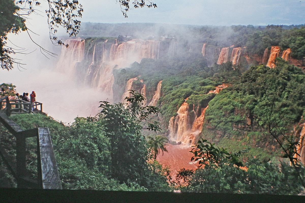

South America Continent Travel Guide: Geography and Infrastructure
Seasons And Climate
The continent spans both hemispheres. The Equator crosses Ecuador, Colombia, and Brazil. The Tropic of Capricorn crosses Chile, Argentina, Paraguay, and Brazil. Season patterns flip depending on where you stand. In the southern hemisphere portion, summer runs December through February, autumn March through May, winter June through August, and spring September through November. The Andean highlands have a wet season approximately November through March and a dry season approximately May through September. The Amazon basin sees higher water and rainfall approximately December through May and lower water approximately June through November. Patagonia has peak winds October through March, coldest months June through August, and warmest months December through February. The Atacama Desert sees possible rainfall events most likely December through March.
Travel Advisories
Government travel advisories are in effect for every country on the continent: Venezuela, Colombia, Ecuador, Peru, Bolivia, Brazil, Guyana, Suriname, Argentina, Chile, Paraguay, and Uruguay. Each is issued annually by the US Department of State and subject to change. Check the current advisory before you book.
Backpacking South America Practical Tips
Money And Safety
Carry cash. Cash dependence is real in Argentina for informal exchange rates and in rural Bolivia and Peru where small towns lack ATMs. Blocked foreign credit cards on bus and domestic flight websites force in person purchases. Street protests and road blockades can halt overland travel for days with zero notice. Dengue and mosquito borne illness risk is year round across the tropical lowlands.
Pack For Extremes
Pack for altitude and humidity in the same bag. You can be in the Amazon basin one day and on the Altiplano the next. The food alone is a reason to move slowly. A full Argentine parrilla with chinchulines, morcilla, and vacío demands time. Peruvian ceviche with leche de tigre is best eaten at a market stall for lunch. Bolivian salteñas, oven baked juicy empanadas, are a mid morning ritual. Brazilian moqueca, a seafood and dendê oil stew cooked in a clay pot, is a meal to sit with. Colombian bandeja paisa, a platter of beans, rice, chorizo, chicharrón, avocado, and fried egg, fills a day. Chilean completo, a loaded hot dog with avocado, tomato, and mayo, is a street food staple. Coca tea and mate are the social rituals that define pauses across the continent.
Who South America is for and Who Should Skip it
South America suits intrepid solo backpackers comfortable with long bus rides, landscape photographers chasing extremes from ice fields to salt flats, carnivores and malbec drinkers, intermediate to advanced Spanish speakers wanting full immersion, and multi month overland travellers ticking off multiple countries. It is not for travellers seeking a compact one week sampler of an entire continent, those who need rigid schedules and Swiss level punctuality, beach resort only vacationers who dislike unpaved roads, or anyone unwilling to handle altitude or basic Spanish in remote areas.
Countries in South America
Common Questions
How many countries can I realistically visit in three weeks in South America?
Two countries, with internal flights. A Colombia Peru hop or a Peru Bolivia hop works. Three countries forces you to spend half your time in transit.
What is the best way to book long distance buses in Argentina and Chile?
Buy tickets at the bus station counter with cash. Online booking with a foreign card often fails. Use a local SIM for MercadoPago if you must book ahead.
How do I handle altitude sickness in Cusco or La Paz?
Plan a 48 hour acclimatisation with no physical exertion. Drink coca tea. Arrange your itinerary so the first two days are easy. Book accommodation below 2,500 m for your first night if possible.
When should I book Machu Picchu and Patagonia lodges?
Four to six months ahead for December through February and July. Peak season fills fast. Machu Picchu requires an advance ticket; you cannot buy one on the day.
Is it safe to travel overland through South America right now?
Every country has an annual government travel advisory from the US Department of State. Check it before you book. Street protests and road blockades can halt travel with zero notice.
What is the best prepaid SIM for cross border travel?
Claro offers the widest cross border coverage. Buy a local SIM on arrival. eSIM availability is patchy outside capital cities.
Can I use my foreign credit card everywhere?
No. Blocked foreign credit cards are common on bus and domestic flight websites. Carry cash in local currency. Argentina requires cash for the informal exchange rate. Rural Bolivia and Peru lack ATMs in small towns.
Read next
-
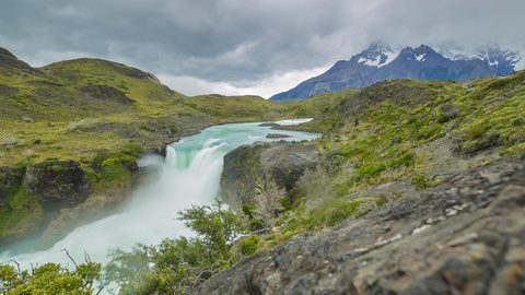
 Chile
Chile runs 4,300 km from desert to ice, and its north and south are effectively separate trips connected by a flight through Santiago.
Chile
Chile runs 4,300 km from desert to ice, and its north and south are effectively separate trips connected by a flight through Santiago.
-

 Brazil
 is vast, loud, and intensely social. This guide covers the real scale, costs, seasons, and friction points before you commit to the trip.
Brazil
Brazil is vast, loud, and intensely social. This guide covers the real scale, costs, seasons, and friction points before you commit to the trip.
-
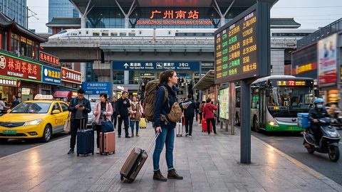 A Ground-Level Logistics Guide to Independent Travel in China
First-time independent travel in China: what you need to know about visas, rail booking, eSIMs, mobile payments, and power adapters.
A Ground-Level Logistics Guide to Independent Travel in China
First-time independent travel in China: what you need to know about visas, rail booking, eSIMs, mobile payments, and power adapters.
-
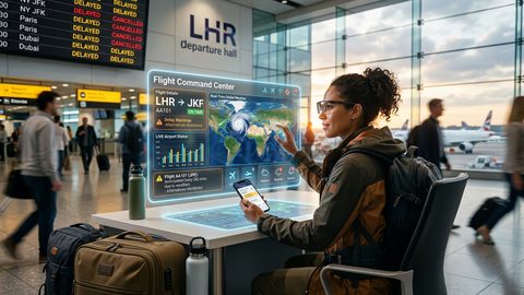 How Solo Travelers Stay Ahead of Flight Delays and Cancellations
How solo travelers can track inbound aircraft, claim rebooking rights, and adjust ground transport when flights go wrong — step by step.
How Solo Travelers Stay Ahead of Flight Delays and Cancellations
How solo travelers can track inbound aircraft, claim rebooking rights, and adjust ground transport when flights go wrong — step by step.
-
 Why Your eSIM Might Not Work Abroad and How to Check Before You Go
Buying an eSIM doesn't guarantee signal abroad. Learn why coverage fails by location and how to verify reach before you commit to a plan.
Why Your eSIM Might Not Work Abroad and How to Check Before You Go
Buying an eSIM doesn't guarantee signal abroad. Learn why coverage fails by location and how to verify reach before you commit to a plan.