Mobile data and connectivity across New Zealand
New Zealand cannot fix its mobile service. No carrier will, because the geography does not permit it.
Mobile Data and Connectivity Across New Zealand
New Zealand cannot fix its mobile service. No carrier will, because the geography does not permit it. Fiordland, the West Coast, the Mackenzie Basin, and every major tramping track sit in terrain that disperses signal before it reaches you. The real choice is eSIM versus local SIM, and that choice matters less than what you do before you leave town.
Get your offline maps. That single move decides whether your road trip survives the Haast Pass or dies halfway down the Milford Road with no way to find the next petrol station.
The three mobile network operators are Spark New Zealand, One NZ, and 2degrees. Each covers the main centres acceptably and drops you in the same remote valleys. No carrier is better in the backcountry. The decision between eSIM convenience and local SIM price is a decision about your first hour in the country, not about whether you get a signal at the Franz Josef Glacier helipad.
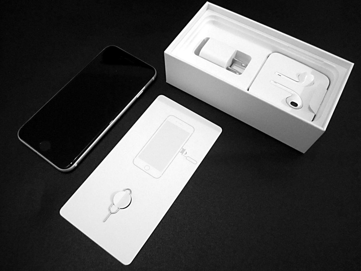

New Zealand ESIM vs Local SIM: the Real Trade-Off
Activate Before You Land
Eligible travellers can activate an eSIM before landing, from Spark, One NZ, or Vodafone New Zealand. You do not queue. You do not hand over a passport. You land at Auckland Airport or Christchurch Airport or Wellington Airport or Queenstown and you have data in the time it takes to turn off aeroplane mode. The downside is price. Local SIMs cost less for the same data allowance because the eSIM resellers take a margin. The upside is time. If you land at 11pm and your rental car is waiting, an eSIM gets you on the road while the retail stores are shut.
Buy a Local SIM at the Airport
Buying a local SIM means finding a store. Airports stock them. Supermarkets stock them. Convenience stores stock them. You need your passport or New Zealand driver licence, plus your name, date of birth, and address. The registration is mandatory. It takes five minutes. The price is lower, but the convenience cost is real when the store queue is long and you have a campervan to pick up before the depot closes at 5pm.
The networks themselves are the same regardless of which SIM format you choose. Spark, One NZ, and 2degrees all run 4G LTE with 5G limited to urban centres. All three operators shut down 3G by the end of 2025, so older phones that rely on that band will stop working. Of the three, 2degrees has the smallest native network and roams on the others in some areas. Spark has the strongest claim to rural reach, but not by a margin you will notice on the West Coast.
Best Mobile Network for Rural New Zealand
Spark New Zealand is the least bad option in rural areas. That is not the same as good. In the populated corridors of State Highway 1, all three carriers hold a signal. The problem is not State Highway 1. The problem is State Highway 6 through the Haast Pass, where service drops for long stretches between Fox Glacier and Makarora. The problem is the Milford Road, State Highway 94 between Te Anau and Milford Sound, where the signal vanishes in the Homer Tunnel and does not reliably reappear. The problem is the Tongariro Northern Circuit, the Abel Tasman track interior, the Stewart Island / Rakiura interior, and sections of the Southern Alps where population density falls below roughly one person per square kilometre.
One NZ and Vodafone New Zealand share infrastructure. Their combined footprint covers the same gaps Spark covers. 2degrees roams on the other networks in those gaps, but roaming cuts your speed. None of this matters in Queenstown or Rotorua or the Auckland city centre. It matters when you are on the West Coast driving from Punakaiki to Hokitika and the one bar you had disappears behind a flax bush.
If you need to stay reachable for work or family, buy a local SIM from Spark at the airport, check the map before you leave each town, and accept that you will lose signal for hours at a time. If you can tolerate that loss, any carrier works. The cost difference is the only real differentiator.
Spark, One NZ, 2degrees: Coverage Map Reality
Do not trust the maps the carriers publish. The maps are optimistic. They show a broad green blanket over Fiordland National Park. In reality, the Milford Road loses signal repeatedly. The Tongariro Northern Circuit backcountry is silent. Remote sections of State Highway 6, the Haast Pass, and the coastal areas of Northland and East Cape all show green on paper and grey on your phone.
Check the official map from each operator, but cross-reference it with user reports from recent trips. New Zealand's terrain blocks signal in ways a flat map cannot predict. Dense native forest drops it. Deep river valleys drop it. The shadow of a mountain ridge at the wrong angle drops it. You are not going to get service in the backcountry of Stewart Island / Rakiura or the remote parts of the Southern Alps. Do not plan around it.
Your Workaround Is Offline Maps
The practical fix is not a carrier. It is offline maps saved to your phone before you leave town. Google Maps allows offline saving of large regions. Grab the entire South Island West Coast and the Mackenzie Basin before you leave Christchurch. Grab the North Island areas you will drive through before you leave Auckland. Do this on airport WiFi or at your accommodation because free WiFi in New Zealand is limited to public libraries, some city centres, and selected i-SITE visitor centres, and those connections are slow.
Offline Maps for a New Zealand Road Trip: Non-Negotiable
This matters more than any carrier choice. Save offline maps before you drive anywhere. The signal drop pattern on New Zealand rural highways and hiking tracks is not an edge case. It is the norm. Fiordland National Park, parts of Westland, remote sections of State Highway 6, the Milford Road, the Tongariro Northern Circuit backcountry, Stewart Island / Rakiura interior, and sections of the Southern Alps all have service absent or weak. The West Coast has the worst density of dead zones. It is mountainous, forested, and nearly empty of people.
Save the map region for the entire South Island. It takes up storage but it saves you from being on the Haast Pass at dusk with a fuel gauge reading low and no way to confirm whether the next station is open. Petrol stations are sparse outside towns. Supermarkets and shops close early, by 6pm. Many small towns have nothing open on Sunday or public holidays. Without offline maps you are guessing. Guessing on one-lane bridges with winding two-lane roads and no median barrier is not a risk worth taking.
Driving Times Lie
Add 25 to 30 percent to any Google Maps journey estimate over 100 kilometres. The estimate assumes you drive at the open road speed limit of 100 km/h on roads where you will not. You will be slower. You will stop for one-lane bridges, for campervans, for sheep, for the sheer volume of landscape that makes you pull over at the Pancake Rocks or Lake Tekapo or Huka Falls. The driving times are not a suggestion. They are the minimum, and the minimum assumes conditions that do not exist on the West Coast or through the Mackenzie Basin.
Free WiFi in New Zealand: Rare and Slow
Free WiFi is not a backup plan. It is rare, slow, and time-limited. Cafes in Queenstown and Auckland and Wellington offer it, but they expect you to buy something and the connection drops when the place gets busy. Public libraries are your best bet for a reliable link. The Auckland city centre, Wellington city centre, and Christchurch have free public WiFi in the main shopping and civic areas, but the speed drops as more people connect.
Do not rely on free WiFi to fetch maps, book accommodation, or check weather for the Tongariro Alpine Crossing or the Milford Sound cruise. Do those things before you leave your accommodation. The i-SITE visitor centres have WiFi, but it is not fast enough for streaming or large files. Treat free WiFi as a sporadic top-up, not a primary connection.
Your phone plan, whether eSIM or local SIM, will carry you through the towns. The problem is not the towns. The problem is the road between them. Grab your maps. Grab your podcasts. Grab your audiobooks. The drive from Franz Josef to Wanaka does not have a data signal for most of its length.
Common Questions
Does any carrier work consistently on the West Coast?
No. No carrier fixes the West Coast. Spark, One NZ, Vodafone New Zealand, and 2degrees all lose signal through the Haast Pass, the glaciers, and the remote coastal sections. The terrain blocks everything. Save offline maps before you drive there.
Can I buy a local SIM at Queenstown Airport?
Yes. Queenstown Airport has retail stores that sell local SIMs from Spark, One NZ, and 2degrees. You need your passport and you must register with your name, date of birth, and address. The process takes a few minutes.
Is 5G available across New Zealand?
No. 5G is limited to urban centres like Auckland, Wellington, Christchurch, and Queenstown. The rest of the country runs on 4G LTE. All three carriers shut down 3G by the end of 2025, so older 3G-only phones will stop working.
Do I need offline maps for the North Island too?
Yes. The North Island has dead zones in Northland, the East Cape, and parts of the Tongariro region. Save the entire island before you leave Auckland. Free WiFi is too unreliable to do it on the road.
What happens if I run out of data on my eSIM?
You top up online through the carrier app or website. Recharge is instant. You can also buy a local SIM as a backup and run both, using the local SIM for heavy use and keeping the eSIM active for calls.
Read next
-
 Best Time to Visit New Zealand, What Each Season Actually Delivers
New Zealand summer runs December to February and brings crowds, sandflies, and booked-out campsites. Here is what each season actually means for your trip.
Best Time to Visit New Zealand, What Each Season Actually Delivers
New Zealand summer runs December to February and brings crowds, sandflies, and booked-out campsites. Here is what each season actually means for your trip.
-
 Getting Around New Zealand, Why Self-Drive Is the Default and What the Map Hides
New Zealand has no efficient inter-regional public transport. A rental car is the default, and driving times are far longer than the map suggests.
Getting Around New Zealand, Why Self-Drive Is the Default and What the Map Hides
New Zealand has no efficient inter-regional public transport. A rental car is the default, and driving times are far longer than the map suggests.
-
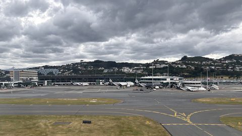 New Zealand Visa Requirements, Who Needs an NZeTA and Who Does Not
Most visitors need an NZeTA before boarding a flight to New Zealand. Here is who needs a full visa, who qualifies for the waiver, and how long each takes.
New Zealand Visa Requirements, Who Needs an NZeTA and Who Does Not
Most visitors need an NZeTA before boarding a flight to New Zealand. Here is who needs a full visa, who qualifies for the waiver, and how long each takes.
-
 Money in New Zealand, Cards, Cash and What Actually Works at the Till
New Zealand runs on contactless cards and EFTPOS, but rural cafes and roadside stalls still want cash. Here is what to carry and when.
Money in New Zealand, Cards, Cash and What Actually Works at the Till
New Zealand runs on contactless cards and EFTPOS, but rural cafes and roadside stalls still want cash. Here is what to carry and when.
-
 New Zealand Safety Advice, Reading the Warnings Without Being Misled by Them
New Zealand has a low crime rate, but the real risks are driving fatigue, alpine weather swings, and sandfly swarms. Here is what the safety pamphlets underplay.
New Zealand Safety Advice, Reading the Warnings Without Being Misled by Them
New Zealand has a low crime rate, but the real risks are driving fatigue, alpine weather swings, and sandfly swarms. Here is what the safety pamphlets underplay.
-
 What a trip to New Zealand costs shaped by season and style not a single number
How a New Zealand trip budget actually works, from the big unavoidable costs to the seasonal spikes and the spending leaks that catch first-timers out.
What a trip to New Zealand costs shaped by season and style not a single number
How a New Zealand trip budget actually works, from the big unavoidable costs to the seasonal spikes and the spending leaks that catch first-timers out.
-
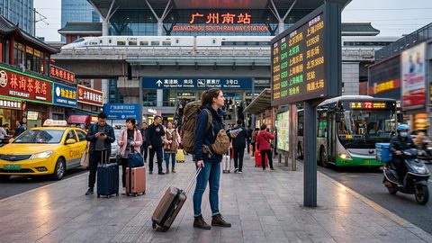 A Ground-Level Logistics Guide to Independent Travel in China
First-time independent travel in China: what you need to know about visas, rail booking, eSIMs, mobile payments, and power adapters.
A Ground-Level Logistics Guide to Independent Travel in China
First-time independent travel in China: what you need to know about visas, rail booking, eSIMs, mobile payments, and power adapters.
-
 How Solo Travelers Stay Ahead of Flight Delays and Cancellations
How solo travelers can track inbound aircraft, claim rebooking rights, and adjust ground transport when flights go wrong — step by step.
How Solo Travelers Stay Ahead of Flight Delays and Cancellations
How solo travelers can track inbound aircraft, claim rebooking rights, and adjust ground transport when flights go wrong — step by step.
-
 Why Your eSIM Might Not Work Abroad and How to Check Before You Go
Buying an eSIM doesn't guarantee signal abroad. Learn why coverage fails by location and how to verify reach before you commit to a plan.
Why Your eSIM Might Not Work Abroad and How to Check Before You Go
Buying an eSIM doesn't guarantee signal abroad. Learn why coverage fails by location and how to verify reach before you commit to a plan.