Nevada Driving Distances and Fuel Stops You Need to Plan Around
Outside Las Vegas and Reno, a personal car is non-negotiable in Nevada. Gas stations can be 100 miles apart, cell service vanishes, and preparation is the
How to Actually Move Around Nevada
A personal car is non-negotiable outside the Las Vegas and Reno corridors. That single fact determines how you move around this state.
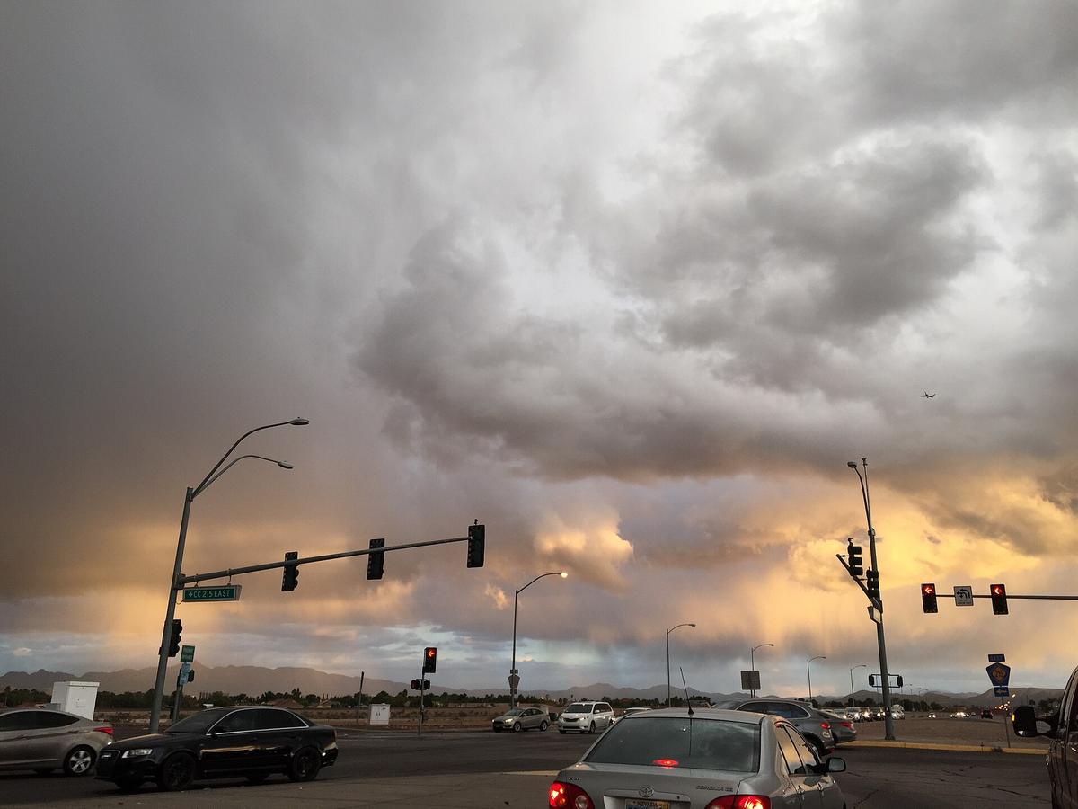
Las Vegas to Reno is a 440-mile drive via US-95, roughly seven hours. Las Vegas to Great Basin National Park is 300 miles, 4.5 hours one way. The distances are not the only problem: gas stations can sit 100 miles apart on US-50 and US-6. A "next services" sign means a pump and nothing else. No restroom, no water, no shade.
Carry a physical credit card. Remote pumps reject contactless. Download offline maps before you leave any town; cell service vanishes on US-50, US-6, NV-375, and the Black Rock Desert. Treat the car as survival equipment, not a convenience.
_in_Enterprise,_Nevada.jpg)
Nevada Driving Distances and Fuel Stops: the Real Numbers
Where the Fuel Gaps Are
The longest stretch of US-50 without services is 110 miles between Ely and Fallon. US-6 is worse: 168 miles between Tonopah and Ely with no services. I-80 has a 72-mile gap between Winnemucca and Lovelock. US-93 runs 95 miles between Alamo and Ash Springs with nothing.
These are the stretches where a half-tank is a mistake. Fill up in every town that has a pump. Do not push past a quarter tank.
Fuel Station Spacing by Route
On US-50 you have options at Fallon, Austin, Eureka, and Ely. On US-6 you have Tonopah, Warm Springs (limited), and Ely. On I-80 services appear every 30 to 60 miles. On US-93 you can refuel in Las Vegas, Alamo, Ash Springs, Caliente, Pioche, Ely, McGill, and Wells.
The summer heat in the Las Vegas Valley runs 100-110°F. A breakdown on US-6 is not a minor inconvenience, it is a safety event.
US-50 Loneliest Road Gas Stations: What Services Actually Exist
US-50 is called the Loneliest Road in America, and the gas station situation makes the name literal. The longest stretch without services is 110 miles between Ely and Fallon.
The towns that do have fuel are Fallon, Austin, Eureka, and Ely. Austin sits roughly at the midpoint. Eureka is 70 miles east of Austin. Ely is 70 miles east of Eureka. Fallon is 60 miles west of Austin.
That spacing means you can make it if you fill in each town, but the pumps themselves are basic. Some are card-only with card readers that reject contactless payments. Carry a physical credit card. Some close at odd hours. Treat every fuel stop as your last chance until you confirm the next one is actually open.
Nevada Rental Car Requirements: Age, Licence, and Availability
What You Need to Rent
You need a valid driver's licence from your country of origin. If your licence is not in English, bring an International Driving Permit as a supplement. The minimum rental age in Nevada is 21. Drivers under 25 pay a surcharge, typically $20 to $30 per day.
Where to Pick Up
The major rental car centre is at Las Vegas McCarran, three miles from the terminals, connected by shuttle. Reno-Tahoe International Airport has rental car facilities on-site. Elko Regional Airport has limited rental options. Outside Las Vegas, Reno, Elko, and Ely, rental car availability drops to nonexistent. You cannot arrive in rural Nevada and pick up a car. Reserve in Las Vegas or Reno.
When to Book
Book early during peak season, March through May and September through November, and especially during the Burning Man window in late August and early September, when Reno-area rentals spike in price and vanish from inventory.
Offline Maps Nevada Highways: How to Navigate Without Cell Service
Cell service vanishes on US-50, US-6, NV-375 (the Extraterrestrial Highway), and across the Black Rock Desert. It is not patchy, it is absent for miles.
The Extraterrestrial Highway has no cell coverage for most of its 98-mile length. Fuel and supplies exist only at Rachel and Ash Springs.
Download Before You Leave
Download offline maps before you leave any town. Google Maps allows you to download a region, and it works without data. Apple Maps does the same. Do not rely on a paper map alone; you need turn-by-turn directions for the unmarked turns that lead to state parks and trailheads.
Check Conditions While You Can
The Nevada Department of Transportation operates a statewide 511 system for road conditions, chain controls, and closures. Call or check the NV Roads portal before you drive, but do so from a town with cell service. Once you are on US-6, you have no way to check for flash flood closures on southern Nevada desert washes between July and September.
_at_Musser_Street_in_downtown_Carson_City,_Nevada.jpg)
Las Vegas to Reno Drive Time: the 7-Hour Reality Check
The direct route via US-95 covers 440 miles and takes roughly seven hours with no stops. The longer route via US-93 and I-80 is 525 miles. Both are all-day drives.
Some distances that look short on a map take longer than expected. Las Vegas to St. George, Utah, is 120 miles but takes two hours due to I-15 Virgin River Gorge curves and congestion. Tonopah to Ely is 170 miles but takes three hours on a two-lane highway with elevation changes. Reno to South Lake Tahoe is 60 miles but takes 1.5 to 2 hours in winter due to mountain grades and chain controls.
Snow season on Sierra Nevada passes runs November through April. Chain controls on I-80 over Donner Summit are enforced multiple times per month during that window. Carry chains if you drive I-80 or US-50 between November and April, even if the forecast looks clear.
Payment Friction: Why Remote Pumps Reject Your Phone
Remote gas station pumps in Nevada reject contactless payments. Apple Pay, Google Pay, and tap-to-pay cards frequently fail. Carry a physical credit card with an EMV chip.
The pump will hold $75 to $100 on your card before you start pumping, and that hold can take days to drop. A debit card works but the hold comes out of your cash balance immediately. Keep cash as a backup: some older pumps in towns like Warm Springs or Rachel have card readers that are unreliable in extreme heat.
The Las Vegas Valley summer range of 100-110°F can cause card reader failures. If the pump rejects your card, you have no fuel and no alternative within 60 miles. Do not gamble on a single payment method.
Public Transit Reality Check: When You Do Not Need a Car
The Las Vegas Monorail runs from MGM Grand to SAHARA Las Vegas, a 3.9-mile route with seven stations. It does not connect to the airport. The nearest station to LAS is MGM Grand, accessed by taxi or rideshare.
The RTC Deuce and SDX express routes serve the Strip and Downtown corridors. That is the limit of useful tourist transit. The RTC buses cover the Las Vegas Valley, including Henderson, North Las Vegas, and Boulder City. RTC Washoe covers the Reno-Sparks metro area. The Tahoe Transportation District runs seasonal routes linking Stateline, Zephyr Cove, and Incline Village.
Outside these three zones, a car is assumed. Ten Nevada counties have no public transit of any kind: Esmeralda, Eureka, Lander, Lincoln, Mineral, Nye, Pershing, Storey, and White Pine. You cannot visit Great Basin National Park, Valley of Fire State Park, or the Black Rock Desert without a car.
Common Questions
What is the longest stretch of road in Nevada without gas stations?
US-6 between Tonopah and Ely runs 168 miles with no services. US-50 has a 110-mile gap between Ely and Fallon. US-93 has a 95-mile gap between Alamo and Ash Springs. Fill up before entering any of these stretches.
Can I drive from Las Vegas to Reno in one day?
Yes, but it is a seven-hour drive via US-95, 440 miles with no stops. Add time for fuel and food. Do not attempt it in summer without checking your coolant and tire pressure. Leave by 6am to avoid afternoon heat.
Do I need an International Driving Permit to rent a car in Nevada?
A valid licence from your country of origin is required. If it is not in English, bring an International Driving Permit. The minimum rental age is 21; drivers under 25 pay a surcharge.
Is there cell service on the Extraterrestrial Highway?
No. NV-375 has no cell coverage for most of its 98-mile length. Fuel and supplies exist only at Rachel and Ash Springs. Download offline maps and carry a physical credit card before entering the route.
Read next
-
 Best Time to Visit Nevada and When the Desert Tries to Kill You
Nevada's shoulder seasons of March through May and September through November deliver tolerable temperatures and clear skies.
Best Time to Visit Nevada and When the Desert Tries to Kill You
Nevada's shoulder seasons of March through May and September through November deliver tolerable temperatures and clear skies.
-
 Staying Safe in Nevada Without the Scaremongering
The real safety concerns in Nevada are environmental: flash floods that strand vehicles, altitude sickness above 8,900 feet, imperceptible dehydration in
Staying Safe in Nevada Without the Scaremongering
The real safety concerns in Nevada are environmental: flash floods that strand vehicles, altitude sickness above 8,900 feet, imperceptible dehydration in
-
 What a Nevada Trip Costs in Shape Not in Figures
A Nevada trip budget is shaped by the high-cost Las Vegas Strip vortex, the non-negotiable expense of a rental car and fuel for vast distances, and the
What a Nevada Trip Costs in Shape Not in Figures
A Nevada trip budget is shaped by the high-cost Las Vegas Strip vortex, the non-negotiable expense of a rental car and fuel for vast distances, and the
-
 United States Travel Guide for First-Timers Who Want the Real Picture
The United States delivers extraordinary geographic and cultural variety, but its sheer scale, car dependency, and tipping economy surprise first-timers. Start here.
United States Travel Guide for First-Timers Who Want the Real Picture
The United States delivers extraordinary geographic and cultural variety, but its sheer scale, car dependency, and tipping economy surprise first-timers. Start here.
-
 Staying Connected While Traveling Through the United States
Prepaid eSIMs work well in US cities, but a physical T-Mobile or AT&T SIM bought at arrival gives better rural coverage for national parks and long highway drives.
Staying Connected While Traveling Through the United States
Prepaid eSIMs work well in US cities, but a physical T-Mobile or AT&T SIM bought at arrival gives better rural coverage for national parks and long highway drives.
-
 Best Time to Visit the United States by Region and Season
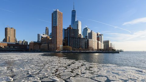
The United States spans so many climates that no single season works everywhere. Here is what each region delivers, and when to stay away.
Best Time to Visit the United States by Region and Season
The United States spans so many climates that no single season works everywhere. Here is what each region delivers, and when to stay away.
-
 Getting Around the United States Without Underestimating the Distances
Outside the Northeast Corridor, the United States runs on cars and domestic flights. Distances are enormous and Amtrak is scenic but slow.
Getting Around the United States Without Underestimating the Distances
Outside the Northeast Corridor, the United States runs on cars and domestic flights. Distances are enormous and Amtrak is scenic but slow.