Real Miami to Key West Drive Time Overseas Highway Stops and All
The drive from Miami to Key West on the Overseas Highway takes at least four hours without stops.
.jpg)
What the Drive from Miami to Key West on the Overseas Highway Really Takes
Real Drive Time Versus The Rental-Car Quote
You are two hours out of Miami and the asphalt has narrowed to one lane in each direction. Your phone shows 1 hour 53 minutes remaining on US-1, but the odometer says you have covered only 60 miles of the 113-mile route. The real Miami to Key West drive time on the Overseas Highway is not the 3 hours 30 minutes the rental agency quoted. It is 4 hours to 4 hours 30 minutes with brief stops. Leave Miami on a Friday afternoon or return on a Sunday evening and it becomes 6 hours. During a hurricane evacuation, that figure becomes unpredictable and can exceed 8 hours. Plan for the longer number, not the optimistic one.
The Road Itself
The Overseas Highway follows US Route 1 from Mile Marker 127 at Florida City to Mile Marker 0 at the intersection of Whitehead Street and Fleming Street in Key West. It crosses 42 bridges. The longest is the Seven Mile Bridge at 6.79 miles. The speed limit ranges from 35 mph to 55 mph depending on the island and bridge section, and passing zones are intermittent. On the Seven Mile Bridge itself the limit is a steady 55 mph, but you will rarely hold that speed. The road is a single lane in each direction with narrow or absent shoulders on most bridges. The surface is asphalt except for concrete on some bridge decks.
Fuel, Charging And Connectivity
Fuel stations are spaced along the route on Key Largo, Islamorada, Marathon, Big Pine Key, and Stock Island. Electric vehicle fast-charging stations exist at a Tesla Supercharger in Marathon, with additional CCS and CHAdeMO stations in Key Largo and Marathon. Check the Florida State Parks official site for annual rates. Mobile phone coverage drops out on some bridge spans between islands. For real-time traffic and road conditions, use Florida 511 or the Florida Department of Transportation District 6 site. NOAA Weather Radio broadcasts on 162.400 MHz from the Marathon transmitter and 162.450 MHz from the Key West transmitter.
Overseas Highway Stops Worth Making
Break the drive into segments at the five stops for supplies, fuel and a reason to get out of the car. The first key reached is Key Largo, from Mile Marker 106 to 100. Fill the tank here. Buy water. Use a public restroom. The next one is at John Pennekamp Coral Reef State Park at Mile Marker 102.5, which charges a per-vehicle entry fee that varies annually. Do not skip this stop if you need a restroom. The next facilities are at state parks spaced roughly 10 to 15 miles apart.
Islamorada, Mile Marker 84 to 72, is the place for water sports rentals and a proper break. Rent kayaks, book a snorkel trip, eat at a dockside shack. The stretch between Islamorada and Marathon has fewer facilities, so use this stop for a meal and a walk. Marathon, Mile Marker 59 to 47, is the midpoint. Public restrooms are available at Curry Hammock State Park at Mile Marker 56.2 and at Long Key State Park at Mile Marker 67.5, both with per-vehicle fees that change yearly. Marathon also has the only Tesla Supercharger on the route. If you drive an electric vehicle, this is your mandatory stop.
Big Pine Key, Mile Marker 33 to 30, is the Key deer viewing area. The speed limit drops to 45 mph by day and 35 mph by night, sunset to sunrise. The deer are small, unpredictable, and will step into the road. Do not stop in the travel lane to photograph them. Pull completely off the pavement if you must stop, and remember that the shoulder is narrow or absent on many sections. The last fuel stop before Key West is on Stock Island, Mile Marker 5 to 3. Fill up here, not in Key West, where stations are scarce and priced for captive demand.
The Florida Keys Road Trip from Miami: Realistic Timing and Traffic
Why One Road Means No Escape
A Florida Keys road trip from Miami is a single road with no alternate route. US-1 is the only evacuation route for the islands. Any accident, drawbridge opening, or storm preparation turns the highway into a parking lot. The drawbridges at Jewfish Creek at Mile Marker 108 and Snake Creek at Mile Marker 86 open on demand for vessel traffic, and vessels have right of way. A single opening adds 10 to 15 minutes. On a Friday afternoon in winter dry season, November through April, expect the drive to take 5 to 6 hours. On a Sunday evening in the same season, the return trip is equally slow.
Seasons That Shape The Drive
The highest traffic volume hits during winter dry season, November through April. Most road construction happens in spring and fall, outside peak hurricane and tourist periods. The highest rainfall arrives June through October, which also carries the highest risk of hurricane-related closures from June through November. If you are driving during a storm threat, check Monroe County Emergency Management and sign up for AlertMonroe before you leave. US-1 is the only way out, and a phased evacuation begins with the lower Keys first.
The Failure Case
You leave Miami at 4pm on a Friday in February with no hotel booked on Key West and no fuel stop planned. You hit the Key Largo stretch at rush hour, you need a restroom, and the next public restroom is 15 miles ahead at a state park that closes at sunset. You arrive in Key West at 10pm. Parking is a nightmare. Your accommodation is a guesthouse in Old Town that has no dedicated spot. Budget for the worst case, not the best case.
Seven Mile Bridge Drive: What to Expect
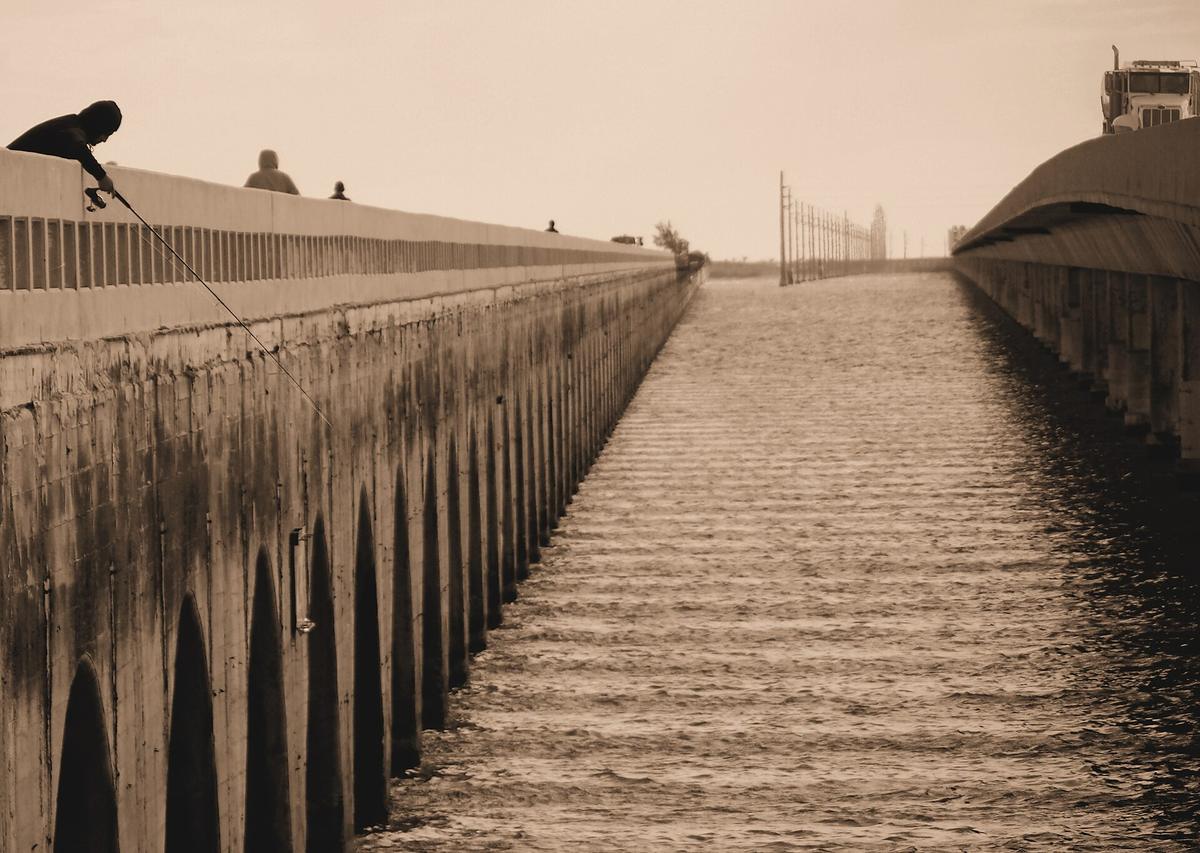
The Seven Mile Bridge drive is the centerpiece of the Overseas Highway, but it is a drive, not a destination. The bridge runs 6.79 miles at a 55 mph speed limit, and you will cross it in about 7.5 minutes at that speed. There is no place to stop. There is no scenic overlook. There is no shoulder wide enough to pull over safely. The view is open water on both sides, turquoise on a calm day, grey-green in wind. That is the entire experience. Do not plan to photograph it from the car. Do not plan to stop on the bridge. The old bridge runs parallel and is open to pedestrians and cyclists, but it is a separate span and you cannot access it from the highway.
The road surface on the bridge is concrete, and it can be slick in light rain. The wind can push a high-profile vehicle noticeably. Mobile phone coverage may drop on the bridge span, so download offline maps before you reach Marathon. The old bridge is worth a separate visit if you have time: walk or cycle a section of it from the Marathon side. But the new bridge is a connector, not a viewpoint. Treat it as such.
Key Largo to Key West Driving: Stops and What You Gain Each Time
Key Largo to Key West driving is 106 miles by the mile marker system, from MM 106 to MM 0. At the minimum drive time of 3 hours 30 minutes without stops, you cover roughly 30 miles per hour. With the four recommended stops at Key Largo, Islamorada, Marathon, and Big Pine Key, the drive becomes 4 hours to 4 hours 30 minutes. Each stop adds about 10 to 15 minutes if you are efficient: fill the tank, use the restroom, buy a drink, get back in the car.
Key Largo is for fuel and restrooms. Islamorada is for food and a short walk. Marathon is for the midpoint break and electric vehicle charging. Big Pine Key is for the wildlife crossing and nothing else. Stock Island is the last fuel stop, and it is also where you find the working waterfront and local seafood joints. The Overseas Heritage Trail, a paved multi-use path parallel to US-1, is discontinuous. The longest completed segment is in the Middle Keys. Cyclists are permitted on the highway where the shoulder exists, and on some bridges they share the travel lane. Pedestrians are permitted on the old Seven Mile Bridge span only.

| Segment | Mile Markers | Distance | Drive Time Without Stops |
|---|---|---|---|
| Miami to Florida City (Start of Overseas Highway) | MM 127 | 36 miles | 40 minutes |
| Florida City to Key Largo | MM 127 to MM 106 | 21 miles | 30 minutes |
| Key Largo to Islamorada | MM 106 to MM 84 | 22 miles | 30 minutes |
| Islamorada to Marathon | MM 84 to MM 47 | 37 miles | 50 minutes |
| Marathon to Big Pine Key | MM 47 to MM 33 | 14 miles | 20 minutes |
| Big Pine Key to Stock Island | MM 33 to MM 3 | 30 miles | 40 minutes |
| Stock Island to Key West (Mile Marker 0) | MM 3 to MM 0 | 3 miles | 10 minutes |
What the Drive Actually Looks Like on a Map and in Real Time
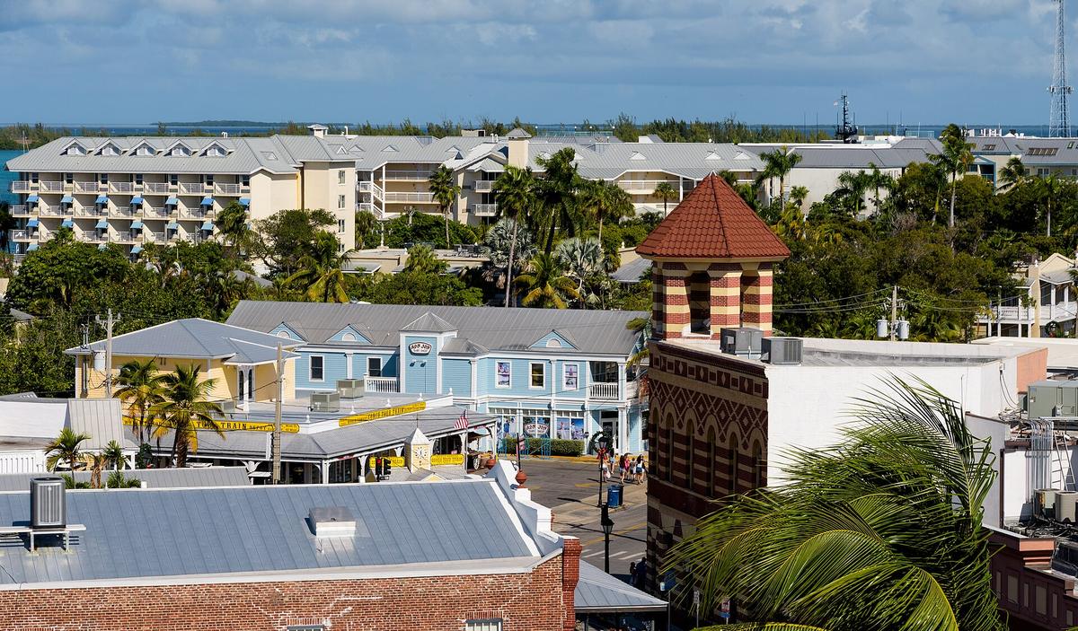
The Overseas Highway begins at Florida City, at the junction of US-1 and Florida's Turnpike. The first key you reach is Key Largo at Mile Marker 106. From there, the road runs southwest. The islands are low and flat, and the road sits at sea level. The water is visible on both sides for much of the route, but the view is interrupted by mangroves, low scrub, and the occasional strip mall. The scenery is not the dramatic open-ocean crossing that travel brochures suggest. Much of the drive is through developed keys with roadside businesses, power lines, and speed limit signs that drop to 35 mph through the towns.
The open-water sections are on the bridges. Those are the spans where you see the water clearly. Between the bridges, the road is on land, and the land is densely built. If you want the scenic photography, stop at the state parks or the old Seven Mile Bridge pedestrian span. Do not shoot from the car window. The drive is functional. It gets you from Miami to Key West. It is not a scenic byway of continuous beauty, despite its All-American Road designation from the National Scenic Byway program. Adjust your expectations accordingly.
Parking in Key West and What Happens When You Arrive
Where To Put The Car
You enter Key West at Mile Marker 0, at the intersection of Whitehead Street and Fleming Street. This is the historic core, and it is small, crowded, and expensive. Parking is limited and aggressively enforced. A rental car is a costly liability unless your accommodation includes a dedicated spot. Park once and walk, bike, or use rideshare. Parking garages exist in Old Town and near the seaport, but rates vary by season and event. Check the annual rates before you arrive. A weekend of garage parking can cost as much as a hotel night in a budget motel.
Getting Around After You Park
The Duval Loop free bus circles the historic district daily. Walking and bicycles are the dominant modes of transport in Old Town. Rideshare is available but supply can be thin, and driver availability drops sharply after midnight. Download offline maps before arrival as a backup. Some Old Town guesthouses have thick walls that degrade Wi-Fi in rooms.
The Mistake To Avoid
Visitors book a trip too short, spend it all on Duval Street, and leave disappointed they never saw the water, the history, or the quieter neighborhoods. Budget 3 full days minimum: one for Old Town landmarks, one for water activities, and one to explore beyond Duval Street without rushing.
Read next
-
 Key West Hotels, What the Price Bands Actually Get You
Key West hotel prices swing wildly by season, and what you get at each band varies more in atmosphere and location than in square footage or thread count.
Key West Hotels, What the Price Bands Actually Get You
Key West hotel prices swing wildly by season, and what you get at each band varies more in atmosphere and location than in square footage or thread count.
-
 Where to Stay in Key West, A District-by-District Comparison
Choosing where to stay in Key West means deciding what you are willing to trade away: quiet for location, character for a parking spot, or your budget for both.
Where to Stay in Key West, A District-by-District Comparison
Choosing where to stay in Key West means deciding what you are willing to trade away: quiet for location, character for a parking spot, or your budget for both.
-
 Flying Into Key West and Getting Out of the Airport
You step off the plane at Key West International Airport and the first thing you notice is the open air.
Flying Into Key West and Getting Out of the Airport
You step off the plane at Key West International Airport and the first thing you notice is the open air.
-
 What to Do in Key West, Ordered by Whether It Is Worth the Time
Some Key West landmarks reward the time and money they demand; others leave you standing in a queue wondering why you bothered.
What to Do in Key West, Ordered by Whether It Is Worth the Time
Some Key West landmarks reward the time and money they demand; others leave you standing in a queue wondering why you bothered.
-
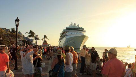 When to Visit Key West and What Each Season Does to the Island
Key West shifts dramatically with the seasons: dry winter crowds, sweltering summer storms, and an October street party that takes over the entire Old Town.
When to Visit Key West and What Each Season Does to the Island
Key West shifts dramatically with the seasons: dry winter crowds, sweltering summer storms, and an October street party that takes over the entire Old Town.
-
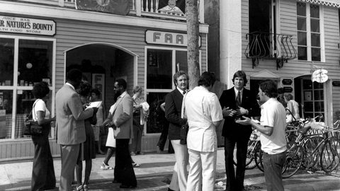 Getting Around Key West Without Wasting Half Your Trip
A rental car in Key West is a liability unless your accommodation includes a dedicated spot; walking, biking, and the free Duval Loop bus handle the rest.
Getting Around Key West Without Wasting Half Your Trip
A rental car in Key West is a liability unless your accommodation includes a dedicated spot; walking, biking, and the free Duval Loop bus handle the rest.
-
 Ernest Hemingway Home and Museum
The house at 907 Whitehead Street gives you two distinct waits: one to buy your ticket and another to start your guided tour.
Ernest Hemingway Home and Museum
The house at 907 Whitehead Street gives you two distinct waits: one to buy your ticket and another to start your guided tour.
-
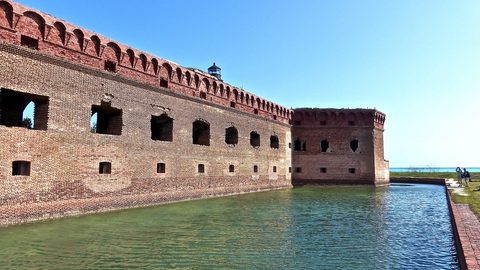 Dry Tortugas National Park
A Dry Tortugas day trip from Key West takes a full day and requires booking weeks ahead.
Dry Tortugas National Park
A Dry Tortugas day trip from Key West takes a full day and requires booking weeks ahead.
-
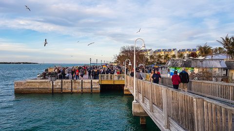 Mallory Square Sunset Celebration
The Mallory Square Sunset Celebration is a free nightly street festival in Key West.
Mallory Square Sunset Celebration
The Mallory Square Sunset Celebration is a free nightly street festival in Key West.