Georgia Travel Safety Across the Regions
Georgia travel safety is mostly about heat, long drives, and remote areas where preparation matters more than worry.
Staying Safe and Comfortable Across Georgia’s Regions
You are three hours into a drive from the Blue Ridge Mountains to the Okefenokee Swamp. The temperature outside the car reads 98°F. The air conditioning is running hard, and the last cell signal disappeared two exits ago. This is the moment when Georgia travel safety shifts from an abstract idea to something you manage minute by minute. The real risks in this state are not crime statistics or wildlife encounters. They are heat exhaustion, five-hour drives across regions, Atlanta traffic that turns a 30-mile trip into 90 minutes, and cell service that drops to zero in the national forests and the swamp. Prepare for those, and you will find Georgia straightforward and rewarding.
Georgia Heat Safety Tips
What to Do Before Noon
July and August in most of Georgia produce a heat index from 95°F up to 110°F. The average July high in Atlanta is 90°F; in Savannah it is 92°F. Even the mountains, where Blairsville averages 84°F in July, feel oppressive when humidity pushes the dew point past 70°F. Heat exhaustion hits fast here because the body cannot cool itself efficiently in humid air.
Complete outdoor sightseeing before 11 a.m. from June through September. Hike Tallulah Gorge, paddle the Okefenokee, walk Savannah's historic district. After that, the combination of direct sun and wet air makes even short walks draining. Carry at least one liter of water per person per hour of outdoor activity. Electrolyte packets are worth the space in your daypack.
When the Heat Index Hits Extreme Levels
The National Weather Service issues a heat advisory when the index climbs above a dangerous threshold. Cancel outdoor plans scheduled between noon and 5 p.m. on those days. Move indoor: the National Civil Rights Museum in Atlanta, the Okefenokee Swamp Park visitor center, any air-conditioned cafe. The failure case is a hiker on the Amicalola Falls trail at 2 p.m. in August with one half-empty bottle of water. That scenario produces a call to 911 and a rescue that takes hours because the trailhead is 90 minutes from the nearest hospital.
Car and Child Safety in the Heat
Georgia law makes it a misdemeanor to leave a child under eight unattended in a vehicle. The interior of a parked car reaches 125°F within 15 minutes on a 90°F day. The same law applies to pets: do not leave an animal in a parked car even with the windows cracked. If you see a child or pet alone in a locked car, call 911 immediately.

Driving Safely in Atlanta
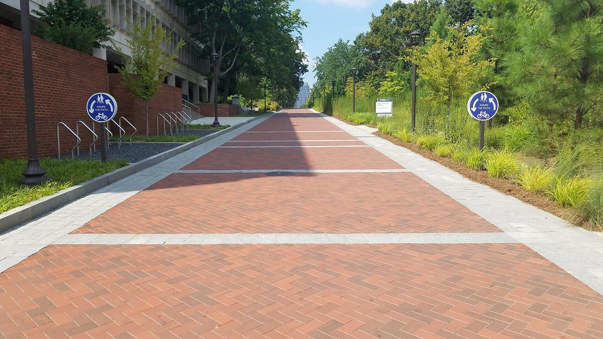
Atlanta traffic is not a minor inconvenience. It is the single largest time risk on any Georgia road trip. I-285, the perimeter loop around the city, carries traffic volumes that regularly push average speeds below 30 mph during peak hours. A 20-mile trip across the metro area can easily take 90 minutes if you hit the 4 p.m. to 7 p.m. window. The north-south spines I-75 and I-85 merge downtown, and that interchange, known locally as the Spaghetti Junction, is where congestion peaks.
The Hands-Free Law
Georgia bans handheld phone use while driving. That means no texting, no holding the phone to your ear, no scrolling GPS while the car is moving. Use a mount for navigation or set the route before you start. The fine starts at $50 and increases with repeat offenses. The Georgia State Patrol enforces this aggressively on interstates and in construction zones.
Using the Peach Pass Express Lanes
Express lanes on I-75, I-85, and I-285 use electronic tolling only. You need a Peach Pass transponder to use them at the standard rate. Without one, you will receive a bill by mail at a higher rate. The lanes are worth the cost during rush hour: they can save 20 to 40 minutes on a cross-town drive. Outside peak hours, the regular lanes flow fine.
What to Do When Traffic Stops
If you are stuck in stopped traffic on an interstate, do not exit via the shoulder. Georgia law requires drivers to move over one lane for stopped emergency vehicles, tow trucks, and highway maintenance vehicles with flashing lights. Shoulder driving is illegal and dangerous. Emergency responders use those lanes. Instead, stay in your lane, wait it out, and use the 511 system or GDOT traffic cameras to check conditions ahead.
Okefenokee Swamp Safety
The Okefenokee National Wildlife Refuge covers 438,000 acres of blackwater swamp. It is dark, quiet, and disorienting. Cell service drops completely inside the refuge. GPS fails. The paddling trails have no signage beyond the put-in point. Visitors who rely on phone maps instead of paper maps or downloaded offline navigation end up paddling in circles until their battery dies.
Download Maps Before You Enter
Download offline maps for the Okefenokee area before you leave the last town with signal: Folkston or Waycross. Carry a printed map from the refuge visitor center as a backup. The paddling routes are marked with numbered poles, but the poles are spaced far apart and easy to miss in low-light conditions. Plan to be off the water by 4 p.m. Sunset comes fast under the swamp canopy and fog rises from the water.
Alligators and Wildlife
Alligators are common in the Okefenokee. They are most active April through October. Keep at least 50 feet between you and any alligator you see. Never feed them. Feeding trains them to associate humans with food, which leads to attacks. Attacks are rare, fewer than one per year statewide on average, but each one is tied to a fed alligator or a person swimming in gator habitat. Do not swim in the swamp. Do not dangle hands or feet over the side of a canoe or kayak.
Venomous Snakes in the Swamp
The cottonmouth lives in the wetlands and slow rivers of the southern plain, including the Okefenokee. Copperheads are statewide and the most common venomous snake in Georgia. Timber rattlesnakes and eastern diamondbacks also inhabit the region. Watch where you step and where you place your hands when portaging around fallen trees. Snakebites total 100 to 200 reported cases per year statewide, most from people who stepped on or near a snake they did not see.
Georgia Coast Hurricane Preparedness
Hurricane season runs June 1 through November 30, with the peak landfall window from August to October. Georgia's shore includes 14 major barrier islands, 378,000 acres of salt marsh, and a tidal range of 6 to 9 feet, among the highest on the East Coast. That combination means storm surge is the primary threat, not wind. A Category 2 hurricane can push water across the causeways that connect the islands to the mainland, stranding anyone who waited too long to leave.
Know Your Evacuation Zone
Coastal counties assign evacuation zones labeled A through E based on storm surge risk. Zone A is the highest risk: oceanfront and marshfront properties. Find your zone before you arrive, not when a watch is issued. Evacuation route signage is blue and marked along highways near the shore. During a mandatory evacuation, I-16 eastbound from Savannah to Macon is converted to contraflow. All lanes run eastbound out of the affected area. That means you cannot return until the order is lifted.
When to Leave
Leave when a hurricane watch is issued, not when a warning is posted. A watch means conditions are possible within 48 hours. A warning means conditions are expected within 36 hours. By the warning stage, gas stations near the water run out of fuel, hotels inland fill up, and causeways may flood during high tide even before the storm arrives. The failure case is a family trying to evacuate St. Simons Island at 8 a.m. on the morning a Category 3 makes landfall, sitting in 10 miles of bumper-to-bumper traffic on a two-lane causeway with a half-tank of gas.
What to Pack for a Trip in Season
If you are visiting Georgia's barrier islands between August and October, keep a go-bag in the car: 72 hours of prescription medication, phone charger and backup battery, printed directions to inland hotels past Macon, cash for gas and food, and a NOAA Weather Radio. The state has 29 NOAA Weather Radio transmitters covering Georgia, and the Wireless Emergency Alert system will send tornado and flash flood warnings directly to your phone. Do not rely on streaming or social media for storm updates. Cell towers fail in high wind.
| Region | Primary Risk | Key Number | Action Before You Go |
|---|---|---|---|
| Blue Ridge Mountains | Cell service loss, flash floods | Rainfall: 60 in/year; fog in mountain gaps | Download offline maps; check GDOT 511 for road conditions; carry a paper map |
| Atlanta Metro | Traffic congestion, vehicle break-ins | I-285: 30 mph avg in peak; smash-and-grab at trailhead lots | Budget 90 min for any 20-mile drive; leave nothing visible in parked car |
| Okefenokee Swamp | Disorientation, heat, wildlife | 438,000 acres; cell service: zero | Download offline maps; carry 2L water per person; finish paddling by 4 p.m. |
| Georgia Coast & Islands | Hurricane storm surge, rip currents | Tidal range: 6–9 ft; rip current fatalities: 5–10 per year | Know your evacuation zone (A–E); leave when a watch is issued; pack a go-bag |
| Coastal Plain & Black Belt | Long distances between towns, heat | July heat index: 95–110°F; restaurants close by 8 p.m. | Fill gas tank in the last town with a station; carry water and snacks for the drive |

Patchy Cell Service in the Mountains and Swamps
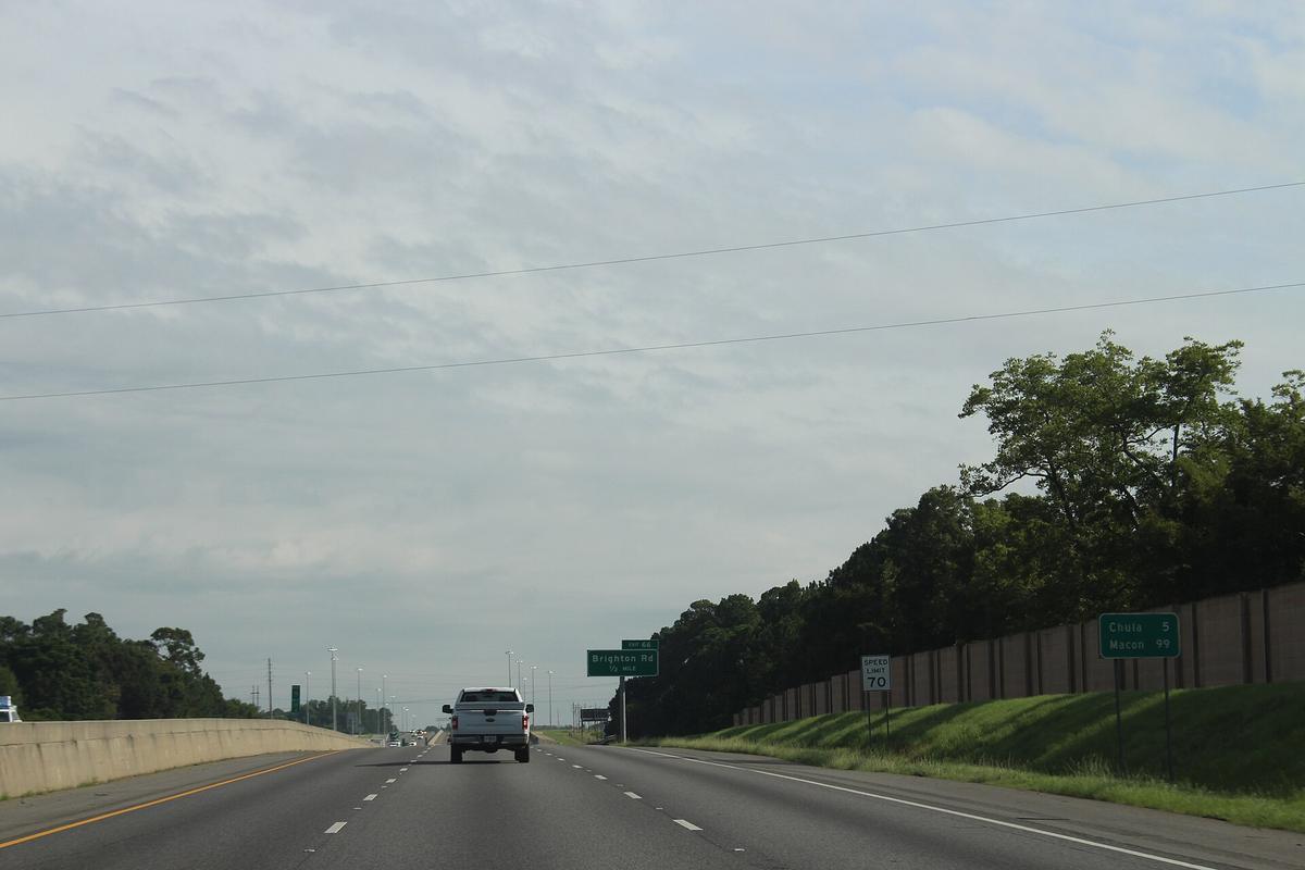
Major carriers cover Georgia's cities and interstates well. The problem is the spaces in between. In the Chattahoochee and Oconee National Forests, streaming fails and GPS navigation stops working on large stretches of road. The same is true inside the Okefenokee and on many two-lane state roads in the high country. The Blue Ridge region has winding roads with elevation changes; fog fills the gaps in fall and spring mornings, reducing visibility under 500 feet. Download offline maps for the entire region you plan to drive before you leave Atlanta or Savannah.
What Happens When You Lose Signal
You cannot call for help on a road without cell service. If your car breaks down on a mountain road or a southern plain highway with no signal, your options are: flag down another driver, walk to the nearest town, or wait. Georgia 511 works from any phone and connects you to road condition info, but it requires a signal. The Georgia State Patrol non-emergency number is *GSP on a mobile phone. Again, only if you have service. The practical fix is to never let your gas tank drop below a quarter in these areas and to carry a printed map.
Mountain Roads in Winter
North Georgia averages 2 to 6 inches of snow per year, higher at elevation. GDOT brines and plows state routes, but priority is given to high-traffic roads. Two-lane mountain roads like the one up to Brasstown Bald may not be treated until the next day. Tire chains are permitted when required for safety in snow or ice. If you are driving in the high country from December through February, carry chains and know how to install them. The department stores in Dahlonega and Blairsville sell them.
Coastal Hazards Beyond Hurricanes
Rip currents are the deadliest hazard on Georgia's Atlantic beaches. They cause 5 to 10 fatalities per year along the shore. The currents are strongest near jetties and sandbars. Swim only at beaches with lifeguards. Most state park swim areas do not have lifeguards. If you are caught in a rip current, swim parallel to the shore, not against it. Jellyfish season runs May through October; sea nettles are common in Georgia waters during summer and fall. Portuguese man o' war appear occasionally, driven by wind, mainly fall through spring. If stung, rinse with vinegar, not fresh water, and seek medical attention if the reaction is severe.
Vibrio Bacteria and Water Quality
Vibrio bacteria are present in warm salt and brackish water from May through October. The bacteria enter the body through open cuts or wounds. Do not wade or swim if you have a fresh cut, scrape, or surgical incision. Wear waterproof bandages if you must enter the water. The Georgia Department of Natural Resources publishes water quality advisories for specific beaches during the summer season.
Fire Ants and Yellow Jackets
Fire ants are statewide and build mounds in grass, along trails, and at picnic areas. Step on a mound and you get stung 20 to 50 times before you can react. Yellow jacket season peaks late summer through fall, August to October. They nest in the ground and in old logs. Both can cause allergic reactions requiring emergency medical care. Carry an epinephrine auto-injector if you have a known allergy to stinging insects. Georgia poison control is reachable at 1-800-222-1222.
Distances, Timing, and the Mistake Most Visitors Make
Georgia is a sprawling state. Driving from the Blue Ridge highlands to the Golden Isles takes five to six hours without traffic. Trying to see the mountains, Atlanta, and the barrier islands in one short trip without accounting for those drives is the most common mistake visitors make. The minimum time to combine two regions, say the high country and the shore, or the mountains and the Black Belt, is seven days. Anything less means spending every other day in transit, not exploring.
What Closes Early
Many small-town restaurants and attractions close by 8 p.m. and are often closed on Sundays and Mondays. In the Black Belt and southern plain, a 7 p.m. closing time is not unusual. If you are driving through rural Georgia after dark, your dinner options are limited to gas station hot food or a fast-food chain. Plan your meal stops before 6 p.m. in small towns. The same applies to state park visitor centers: most close at 5 p.m. year-round.
Coastal Causeway Flooding
Causeways that connect barrier islands to the mainland can flood during high tides and storms. The tidal range on Georgia's shore is 6 to 9 feet, meaning the water level varies dramatically between low and high tide. During a full moon or a king tide, the causeway to Tybee Island or St. Simons Island can flood even on a clear day. Check tide charts before you plan your departure from an island, and add 30 minutes to your drive if the tide is high.
Common Questions
What should I do if I get heat exhaustion in Georgia?
Stop all activity immediately. Move to shade or air conditioning. Drink cool water or an electrolyte drink. Remove excess clothing. If symptoms, confusion, nausea, fainting, do not improve within 30 minutes, call 911. Heat stroke is a medical emergency.
Do I need a special transponder to use Atlanta's toll lanes?
You need a Peach Pass for the lowest rate. Without one, you will receive a bill by mail at a higher rate. The lanes are electronic-only; there is no cash option. Order a Peach Pass online before your trip or pick one up at a Georgia Visitor Center.
Are alligators a real danger in the Okefenokee?
Attacks are rare, fewer than one per year statewide. The real risk is getting too close. Keep 50 feet between you and any alligator. Do not swim, feed them, or paddle close to a basking gator. The most dangerous alligator is the one that has been fed by humans.
When should I evacuate from Georgia's coast during hurricane season?
Leave when a hurricane watch is issued, conditions possible in 48 hours. Do not wait for a warning. Gas stations run out of fuel during the warning phase, and causeway flooding can trap cars on the islands. Know your evacuation zone (A through E) before you arrive.
How do I handle Atlanta traffic as a visitor?
Avoid driving through the city between 4 p.m. and 7 p.m. if you can. Use I-285 to bypass downtown if your route goes north-south or east-west. Budget 90 minutes for any 20-mile trip across the metro area. Obey the hands-free driving law: no phone use while driving.
Is there cell service in the Georgia mountains?
Major carriers work in towns like Dahlonega, Blairsville, and Helen. Cell service drops on most two-lane mountain roads and inside the Chattahoochee National Forest. Download offline maps for the entire mountain region before you leave Atlanta. Carry a printed map as backup.
What is the crime risk for tourists in Georgia?
Vehicle break-ins are the primary crime risk for visitors. Smash-and-grab theft from parked cars is reported at shopping areas, trailhead lots, and tourist parking in downtown Atlanta and Savannah. Leave nothing visible in your parked car. Catalytic converter theft is reported statewide, highest in metro Atlanta.
Read next
-
 Best Time to Visit Georgia by Region and Season
Georgia's best travel windows are spring and fall, but the mountains and coast follow different seasonal rules.
Best Time to Visit Georgia by Region and Season
Georgia's best travel windows are spring and fall, but the mountains and coast follow different seasonal rules.
-
 Getting Around Georgia Without Losing a Day to the Interstate
A personal car is essential for exploring Georgia, but route choices and Atlanta traffic determine how much of your day actually goes to travel.
Getting Around Georgia Without Losing a Day to the Interstate
A personal car is essential for exploring Georgia, but route choices and Atlanta traffic determine how much of your day actually goes to travel.
-
 What a Georgia Trip Costs in Shape Rather Than Figures
Georgia trip costs are shaped less by daily expenses than by region, season, and how many entry fees and long drives you stack.
What a Georgia Trip Costs in Shape Rather Than Figures
Georgia trip costs are shaped less by daily expenses than by region, season, and how many entry fees and long drives you stack.
-
 United States Travel Guide for First-Timers Who Want the Real Picture
The United States delivers extraordinary geographic and cultural variety, but its sheer scale, car dependency, and tipping economy surprise first-timers. Start here.
United States Travel Guide for First-Timers Who Want the Real Picture
The United States delivers extraordinary geographic and cultural variety, but its sheer scale, car dependency, and tipping economy surprise first-timers. Start here.
-
 Staying Connected While Traveling Through the United States
Prepaid eSIMs work well in US cities, but a physical T-Mobile or AT&T SIM bought at arrival gives better rural coverage for national parks and long highway drives.
Staying Connected While Traveling Through the United States
Prepaid eSIMs work well in US cities, but a physical T-Mobile or AT&T SIM bought at arrival gives better rural coverage for national parks and long highway drives.
-
 Best Time to Visit the United States by Region and Season
The United States spans so many climates that no single season works everywhere. Here is what each region delivers, and when to stay away.
Best Time to Visit the United States by Region and Season
The United States spans so many climates that no single season works everywhere. Here is what each region delivers, and when to stay away.
-
 Getting Around the United States Without Underestimating the Distances
Outside the Northeast Corridor, the United States runs on cars and domestic flights. Distances are enormous and Amtrak is scenic but slow.
Getting Around the United States Without Underestimating the Distances
Outside the Northeast Corridor, the United States runs on cars and domestic flights. Distances are enormous and Amtrak is scenic but slow.
-
 A Ground-Level Logistics Guide to Independent Travel in China
First-time independent travel in China: what you need to know about visas, rail booking, eSIMs, mobile payments, and power adapters.
A Ground-Level Logistics Guide to Independent Travel in China
First-time independent travel in China: what you need to know about visas, rail booking, eSIMs, mobile payments, and power adapters.
-
 How Solo Travelers Stay Ahead of Flight Delays and Cancellations
How solo travelers can track inbound aircraft, claim rebooking rights, and adjust ground transport when flights go wrong — step by step.
How Solo Travelers Stay Ahead of Flight Delays and Cancellations
How solo travelers can track inbound aircraft, claim rebooking rights, and adjust ground transport when flights go wrong — step by step.